
Milam Glacier
Eight days up the Gori gorge on the old Tibet trade route — through ghost villages to the ice that feeds a river.
- Highest point
- 4,268 m — glacier snout
- Duration
- 8 days ex-Munsiyari
- Grade
- Challenging
- Season
- May–Jun · Sep–Oct
- Price
- Quote on request
Overview
The road the traders
left behind.
For centuries the Johar valley ran mule caravans over the passes to Tibet. When the border closed in 1962, its prosperous villages — Milam, Burfu, Rilkot — slowly emptied. Today their stone lanes stand silent under Nanda Devi East, one of trekking's great time capsules.
The trail follows the Gori Ganga from Munsiyari through a gorge that tightens to a slot of spray and cliff, then opens into high pasture. At its head: the Milam Glacier, among Kumaon's largest, calving the river you've walked beside for a week.
This is a long, honest trek — big daily distances, rocky moraine, ledge trails. You should have prior multi-day trek experience and solid fitness. We run it with full camp support.
Day by day
The route card
DAY1 Arrive Munsiyari 2,200 m
DAY2 Munsiyari → Lilam 1,850 m
DAY3 Lilam → Bogudiyar 2,450 m
DAY4 Bogudiyar → Rilkot 3,130 m
DAY5 Rilkot → Milam village 3,420 m
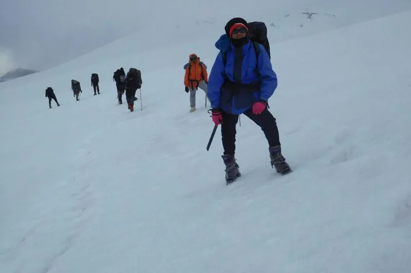
DAY6 Glacier day 4,268 m
DAY7 Milam → Bogudiyar 2,450 m
DAY8 Bogudiyar → Munsiyari 2,200 m
Weather buffer recommended — keep a spare day. Ralam valley and Nanda Devi East Base Camp variants available for strong teams.
What's covered
Inclusions & exclusions
Included
- Full camping support — tents, kitchen, crew
- All meals on trail
- Permit formalities
- ICE guide and high-altitude first-aid
- Mules/porters for common equipment
Not included
- Travel to/from Munsiyari
- Personal gear (list provided) and personal porterage
- Travel insurance
Khaliya Top (acclimatisation warm-up from Munsiyari) · Chhipla Kedar · All tours & treks